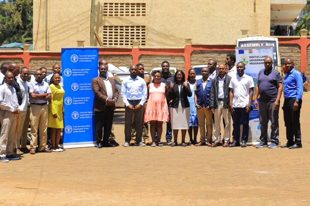
The Kisii County Government has conducted a three-day technical training for Geographic Information Systems (GIS) champions as part of efforts to strengthen digital land governance, planning and service delivery.
The training brought together technical officers from 10 county departments and marked an important milestone in the county’s efforts to promote integrated, transparent and digitally driven land governance.
The GIS Interdepartmental Champions Training was organised by the Council of Governors and supported by the Food and Agriculture Organization of the United Nations (FAO) and the European Union (EU) under the Digital Land Governance Programme.
County Executive Committee (CEC) member for Lands, Physical Planning, Housing and Urban Development Grace Nyarango said the training would enhance the county’s capacity to manage and use spatial data for planning, service delivery and decision-making.
“The training aimed to decentralise spatial data management across the county by equipping each participating department with a dedicated GIS resource person,” she said.
Nyakango challenged the champions to ensure accurate and timely capture, updating and submission of spatial information to the county’s central system.
She said Governor Paul Simba Arati was keen on the use of GIS, noting that spatial analysis would support data-driven decision-making and improve the allocation of county resources.
She also thanked the FAO and EU for their technical and financial support.
Integrating GIS capabilities across the 10 departments is expected to strengthen the county’s land administration framework while reducing reliance on a single central GIS unit.
The training established internal technical capacity in each of the participating departments, enabling officers to manage and use spatial data within their respective areas of operation.
It also created an interdepartmental GIS network to promote collaboration and data sharing across sectors. The network will enable the county to combine information from different departments to support integrated planning and service delivery.
For example, health facilities can be mapped alongside clean water infrastructure to help identify service gaps and guide resource allocation.
The newly trained GIS champions also tested live data visualisation workflows using infrastructure at the Kisii County GIS Lab.
The practical exercise demonstrated how GIS technology can improve the collection, visualisation and application of spatial information in the county’s day-to-day operations.
The county has proposed quarterly refresher reviews to assess and audit data streams generated by the GIS champions.
The reviews will help maintain the quality of spatial data, strengthen the champions’ skills and support continuous improvement of the county’s GIS system.